RecordedMapsImproved
Terrain and contours go national
The hillshade and contour lines behind outdoor were limited to the twelve NRCan CDEM sheets around Calgary, Montréal, and Iqaluit. They are national: NRCan's 30 m MRDEM, tiled to z12 and overzoomed beyond it, reaches the Arctic archipelago; contours follow the same extent at z9–13. The source follows watersheds, so coverage spills a little across the US border. That spill is not US coverage.
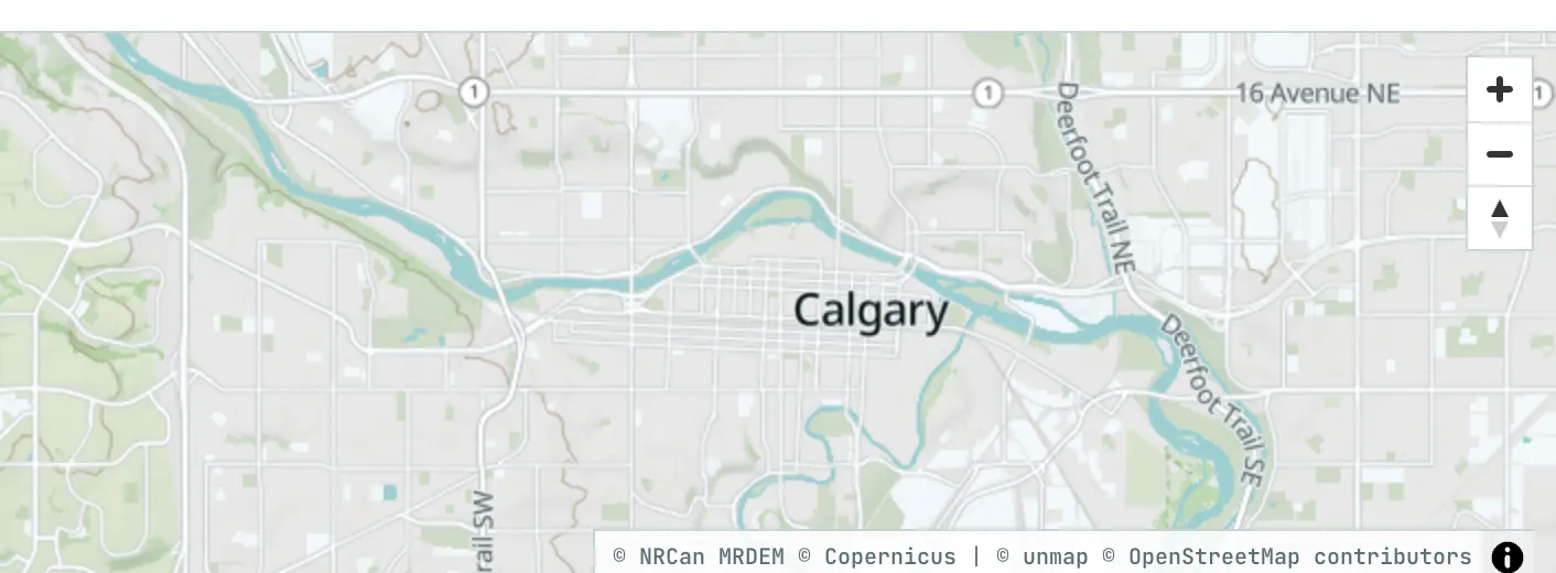
- canada-dem.pmtiles was rebuilt in place from MRDEM-30 on 2026-09-08 (z0–12, terrarium-encoded, 1.13 M tiles); the twelve-sheet archive is gone
- canada-contours.pmtiles followed on 2026-09-09, cut per window at z9–13 (previously z9–14) at the same national extent
- Styles now emit /terrain/3/... and /contours/3/...: the archive version segment moves with a rebuild, so tiles cached under the old path are never served as the new archive
AvailabilityNational MRDEM hillshade and contours. Coverage follows watersheds and spills slightly across the US border. That spill is not US coverage.
